Lord Howe Island Marine Park
Lord Howe Island Marine Park is approximately 600 km off the NSW north coast and 700 km north-east of Sydney. It:
- lies within the Lord Howe Island World Heritage Area;
- covers approximately 460 km2, encompassing Lord Howe Island itself, the Admiralty Islands, Balls Pyramid and South East Rock;
- extends from the mean high water mark to the three nautical mile limit of NSW waters. The park was established in February 1999 and its zones and management rules commenced in 2004. A review of the park was completed in 2010.
Map of Lord Howe Island Marine Park
- The marine park Zoning Map (PDF, 2836.26 KB), User Guide (PDF, 2730.2 KB) and the FishSmart NSW app provide information about the zoning arrangements and management rules in the park.
Australian marine parks
The Lord Howe Marine Park surrounds the NSW Lord Howe Island Marine Park and extends further seaward encompassing Elizabeth and Middleton reefs to the north.
The NSW Department of Primary Industries manages the reserve on a day-to-day basis for the Australian Government.
The combined State and Commonwealth marine parks are the largest marine protected area off the NSW coast.
For more information visit the Australian Government.
Why Lord Howe Island Marine Park is unique
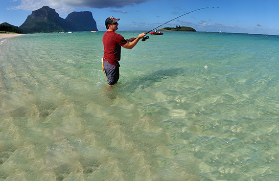
Lord Howe Island is a narrow volcanic strip surrounded by several small, environmentally sensitive islets. The island is a remnant of a long-extinct shield volcano, dating back millions of years.
The marine environment is internationally significant and features the world's southern-most coral reef.
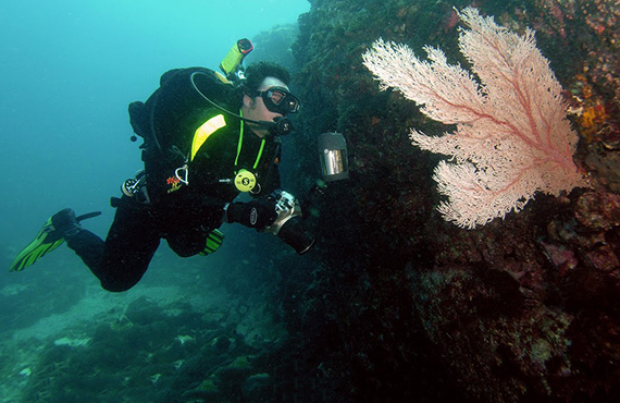
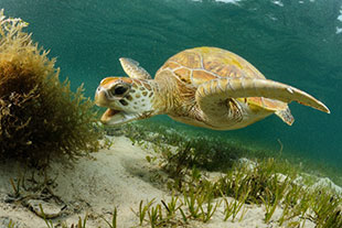
The waters – a unique mix of warm tropical and cool temperate ocean currents – are home to over 500 fish species, more than 90 coral species and countless other marine species, many only found in the immediate area.
A wide range of habitats include a barrier coral reef and lagoon, and fringing reefs dominated either by coral or macroalgal communities. Lord Howe Island and the surrounding waters were declared a World Heritage site (the first in NSW) in 1982.
Things to do and see
Lord Howe Island Marine Park offers plenty of activities and exploring. Check out what to do and see:

