

Litchfield National Park
A favourite with locals, this park is home to stunning waterfalls, places to swim and stay, 4WD tracks and scenic walks.

Litchfield National Park is a must see if you're in the Top End.
The park covers approximately 1,500 km2.
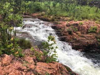
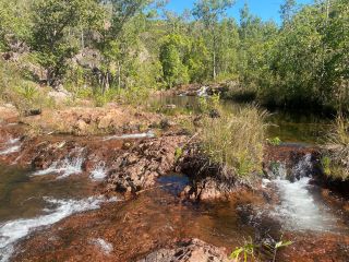
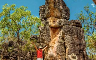
It's home to several stunning waterfalls that cascade into crystal clear pools, iconic magnetic termite mounds and clusters of weathered sandstone pillars.
Litchfield National Park is an ancient landscape shaped by water.
Aboriginal people have lived throughout the area for thousands of years. It is important to the Koongurrukun, Mak Mak Marranunggu, Werat and Warray Aboriginal people.
Their ancestral spirits formed the landscape, plants and animals and are still present in the landscape today.
This park requires visitors to the NT to have a parks pass.
Campground hosts are present at Florence, Wangi and Tjaynera Falls campgrounds during peak season (May to September).
Find out how to be a campground host.
Get the Litchfield National Park fact sheet and map PDF (1.3 MB).
Check if the park is open
Parks may close unexpectedly due to bushfires, flooding or park maintenance.
Before you go, check if the park is open.
Prepare and stay safe
To enjoy your trip, find out about safety and rules in the park.
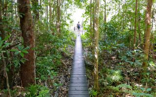
Places to go
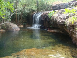
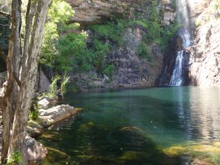
Florence Falls
Picnic at the plunge pool and take a walk along Shady Creek
Facilities: BBQ - Wood | Camper trailers | Caravan (at specific areas only) | Disabled access | ECD | Information signs | Public toilets | Showers | Water - Boil before drinking Activities: 4WD | Campground hosting | Camping | Sightseeing | Swimming | Walking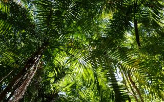
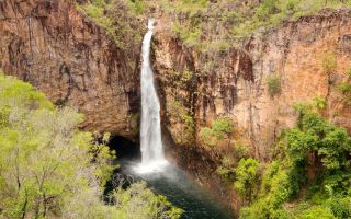
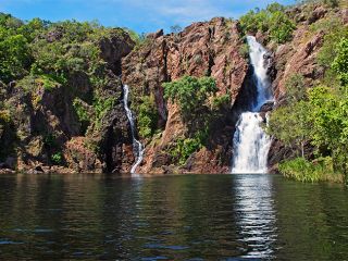
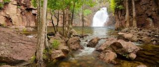
Wangi Falls
A large plunge pool with shady grassed areas
Facilities: BBQ - Gas | Caravan | Coffee | Disabled access | ECD | Food | Free wi-fi | Firepit | Information signs | Phone | Public toilets | Showers | Water - Boil before drinking Activities: Campground hosting | Camping | Picnic | Sightseeing | Swimming | WalkingOther activities
- Bird spotting information PDF (429.7 KB)
- 39km Tabletop bushwalk track
- Flying your drone - get permit before you arrive.
How to get there
The park is about 120km south-west of Darwin, accessed from Cox Peninsula Road or through Batchelor.